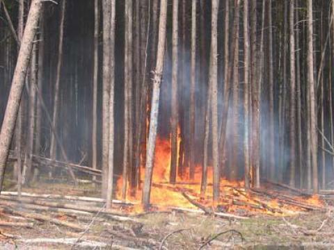
A fire severity mapping system for real time fire management application and long-term planning.
FIRESEV (FIRE SEVerity Mapping Tools) is a comprehensive set of tools and protocols to deliver, create, and evaluate fire severity maps for all phases of fire management. It can be used to create real-time fire severity maps on its own or along with current satellite imagery products to enhance data analysis of fire effects. The set of tools and protocols for FIRESEV includes: 1) a Severe Fire Potential Map based on statistical modeling with satellite-derived observations of severity from past fires, 2) a mapping algorithm that integrates simulation modeling into the Wildland Fire Assessment Tool, 3) research papers, and 4) other helpful information to improve descriptions, interpretations, and mapping of fire severity.
The primary tools developed as part of FIRESEV can be downloaded from the Fire Research and Management Exchange System (FRAMES) web site. The Severe Fire Potential Map (SFPM) is available at the FRAMES FIRESEV page. It covers all lands in the western conterminous U.S., and can be used by fire managers to plan for future wildfires or manage wildfires in real time. The mapping algorithm within the Wildland Fire Assessment Tool (WFAT) is used for fuel treatment planning to predict potential fire effects under prescribed fire weather conditions. With WFAT, fire severity can be mapped explicitly from fire effects simulation models (i.e., FOFEM, Consume, etc.) for real-time wildfire applications and planning.
The FIRESEV project has also produced a suite of research studies, synthesis papers, and popular articles that are designed to expand managers’ knowledge and provide guidelines on how to measure, interpret, and apply fire severity in fire management. The final report on FIRESEV to the Joint Fire Sciences program (study JFSP-09-1-07-4) is available for review. Links to each tool, protocol, and product are found within the final report.
As of early 2015, we are working on expanding the Severe Fire Potential Map into the eastern United States. Our goal is to have data available for all of the conterminous U.S. by spring of 2016.
