

The Convert ASCII to Raster form combines two ArcGIS processing steps into one. It converts an integer or floating point ASCII file into a raster and defines the spatial reference at the same time. This form is most commonly used to post-process data created in FlamMap for further analysis and mapping in ArcMap. But it is not limited to FlamMap outputs, it can be used to convert any ASCII files.
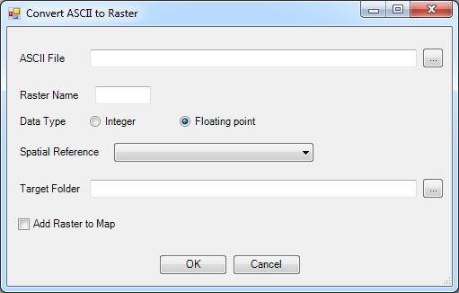
ASCII File is theASCII file to be converted.
Outputs:
The Target Folder is where the raster will be saved. The default is the output folder specified when setting up a project in the Project Settings form.
The Batch Convert ASCII to Raster form has the same functionality as the Convert ASCII to Raster form, with the added benefit of converting multiple files at once.
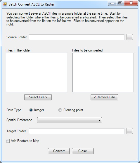
The Source Folder is the path to the ASCII files to be converted.
In this exercise you will convert a crown fire activity ASCII file created in FlamMap5, to a projected raster.
Click the Tools button on the ArcFuels10 toolbar then select Convert ASCII to Raster from the drop-down list.

Fill out the Convert ASCII to Raster form following the figure below.

Return to ArcMap.
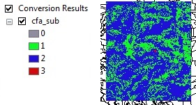
Converted crown fire activity raster for a subarea of the Mt. Emily project area. 0=no fire, 1=surface fire, 2=passive crown fire, 3=active crown fire.
If you incorrectly name the raster, one of two error windows will open, indicating that the name is too long, or there is another problem (starts with a number, has a space, or has a special character), and the raster will not be created .

In this exercise burn probability (bp), flame length (fl), and rate of spread (rs) ASCII files created in FlamMap5 will be converted to projected floating point rasters.
Click the Tools button on the ArcFuels10 toolbar then select Batch Convert ASCII to Raster from the drop-down list.

Fill out the Batch Convert ASCII to Raster form following the figure below.

Return to ArcMap
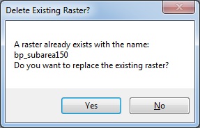
If a raster already exists with the same name, a warning window will open asking if you would like to replace the existing raster.
To continue to the next section go to Export Shapefile Attributes.