Image Gallery
Our photographs represent research, presentations, award ceremonies, fire simulations, tours, and educational events. Click on an image to see a larger view and description. Browse related images by tags. Photos are provided by the USDA and Forest Service unless otherwise noted.
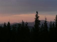
Overlooking Belt Creek drainage on a late summer evening from the northern edge of Tenderfoot Creek Experimental Forest.
(Credit: Lance Glasgow)
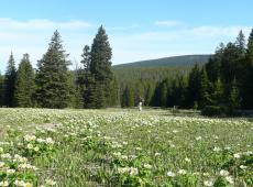
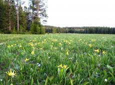
Designated as a Research Natural Area, Onion Parks sits at the headwaters of Tenderfoot Creek in the Little Belt mountains.
(Credit: Lance Glasgow)
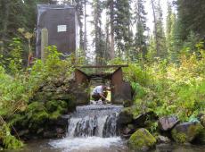
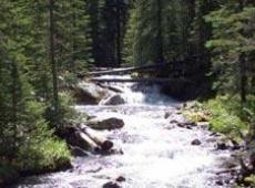
FFS Program Manager Colin Hardy removes debris from the Pack Creek flume at the Tenderfoot Creek Experimental Forest, Helena-Lewis and Clark National Forest, Montana. 2015
(Credit: Duncan Lutes)
Onion Park Research Natural Area, Tenderfoot Creek Experimental Forest, Helena-Lewis and Clark National Forest, Montana. 1998.
(Credit: Duncan Lutes)
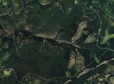
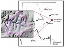
Google Earth image of the Tenderfoot Creek Experimental Forest. Experimental shelterwood harvests are visible in the Spring Park sub-watershed (top right) and the Sun Creek sub-watershed (bottom right).
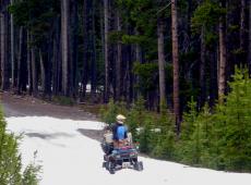
Residual snow drifts in June create challenges for accessing Tenderfoot Creek Experimental Forest. ATVs with snow track are often required.
(Credit: Lance Glasgow)
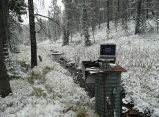
Monitoring streamflow in September on the Upper Sun Creek open channel gauging station, Tenderfoot Creek Experimental Forest.
(Credit: Lance Glasgow)
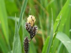
Blackend Sedge: Carex atrata growing in the bottom of the Bubbling Creek sub-watershed of Tenderfoot Creek Experimental Forest.
(Credit: Lance Glasgow)
