

The Select Stand: Display Details form displays information about loaded and linked FVS input trees (Tree List) and fuel loads (Fuels Data). The form also shows the values of the eight layers that make up the FlamMap “raster sandwich” (or landscape file, LCP) when the raster layers are loaded into ArcMap. For information about what LCPs are, see Build LCP.
You can point and click repeatedly with the form remaining open, this is much like the Identify function in ArcMap.
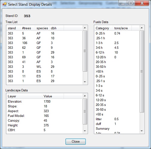
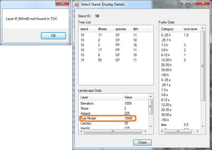
The Select Stand: Display Details form, which displays information about the stand and landscape data for a selected point in the landscape. The Tree List and Fuels Data are from the FVS input database and the Landscape Data are from rasters loaded into ArcMap.
This tool still works when only FVS data or raster data are available; both are not needed.
Exercise 7 will highlight the functionality of the View FVS Files form.
Click the Stand button on the ArcFuels10 toolbar, then select View FVS Files from the drop-down list.

A window will open explaining how to use the tool .
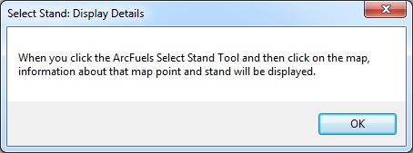
Click the OK button to close the window.
Zoom in and out  of the Mt. Emily Project area and pan
  around to pick a stand.
 button and click on a stand to execute a FVS /FFE-FVS run.
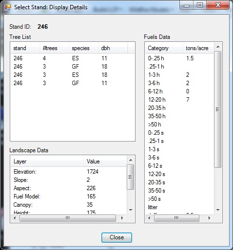
Notice only the landscape file (LCP) raster data will be populated in the form.
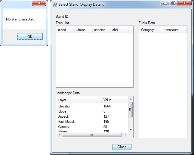
If no landscape file (LCP) raster data is loaded into ArcMap, a series of warning windows will be displayed for each layer not loaded. After clicking OK to close each window, only the stand data and the data for the loaded rasters will be displayed.
To continue go to Landscape.